
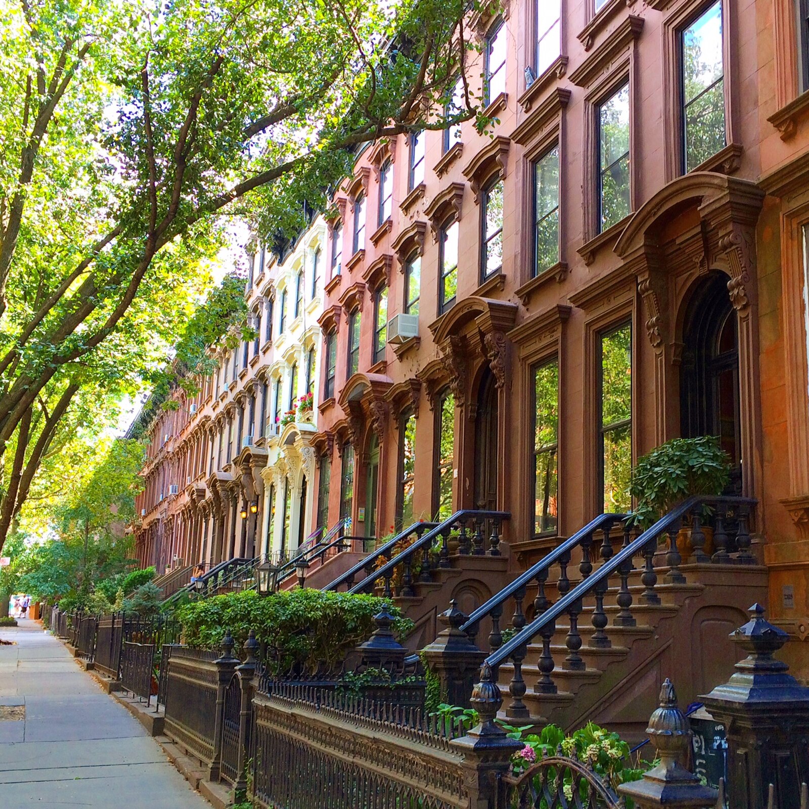
Brooklyn · Neighborhood
Park Slope
Map & Local
Around Park Slope
Subway stations, public schools, and parks within walking distance — pulled live from NYC OpenData and the MTA.
Subway
4
-
FG
7 Av
7 min walk
-
R
4 Av-9 St
7 min walk
-
R
Union St
9 min walk
-
FG
4 Av-9 St
9 min walk
Schools
8
-
P.S. 321 William Penn
Elementary · PK,0K,01,02,03,04,05
0.16 mi
-
P.S. 039 Henry Bristow
Elementary · PK,0K,01,02,03,04,05
0.18 mi
-
John Jay School for Law
High school · 09,10,11,12
0.19 mi
-
Cyberarts Studio Academy
High school · 09,10,11,12
0.19 mi
-
Park Slope Collegiate
Secondary School · 06,07,08,09,10,11,12
0.19 mi
-
Millennium Brooklyn HS
High school · 09,10,11,12
0.19 mi
-
M.S. 51 William Alexander
Junior High-Intermediate-Middle · 06,07,08
0.21 mi
-
The Maurice Sendak Community School
Elementary · PK,0K,01,02,03,04,05
0.32 mi
Parks
8
-
Washington Skate Park
1.5 acres
0.22 mi
-
Washington Park
3.0 acres
0.29 mi
-
Gardens Of Union
0.2 acres
0.41 mi
-
Park Slope Playground
1.0 acres
0.42 mi
-
Dolly's Park
0.1 acres
0.56 mi
-
Grand Army Plaza
14.3 acres
0.62 mi
-
Thomas Greene Playground
2.5 acres
0.65 mi
-
Bartel-Pritchard Square
1.7 acres
0.67 mi
From the News
Recent articles
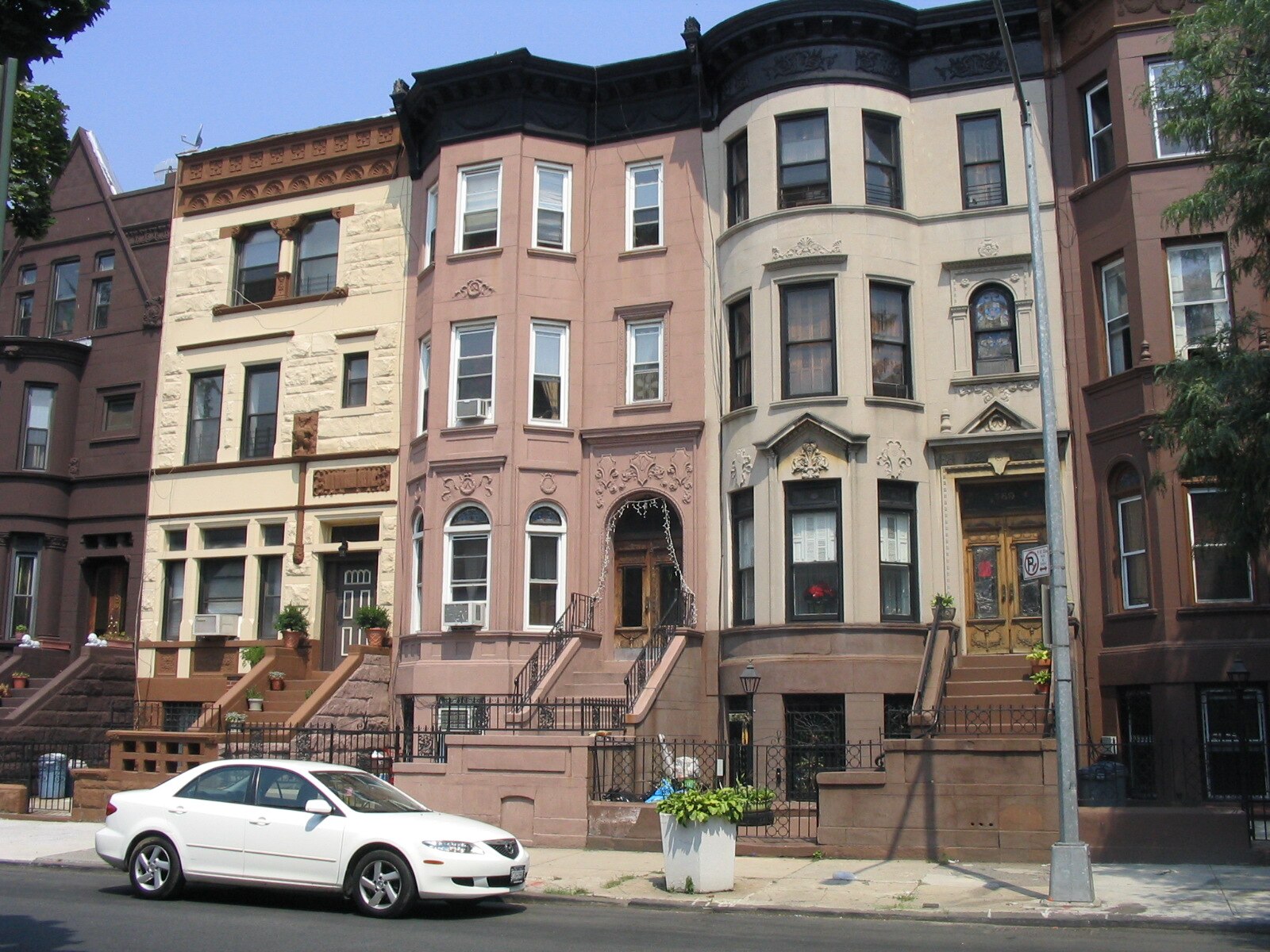
Renter Guide
How to apply for an apartment in New York City
The documents landlords ask for, the income guideline they use, and how to have a complete application ready before you tour.
Renter Guide
Touring an apartment in NYC: what to check before you apply
A practical checklist for your tour, from light and water pressure to heat, noise and the commute.
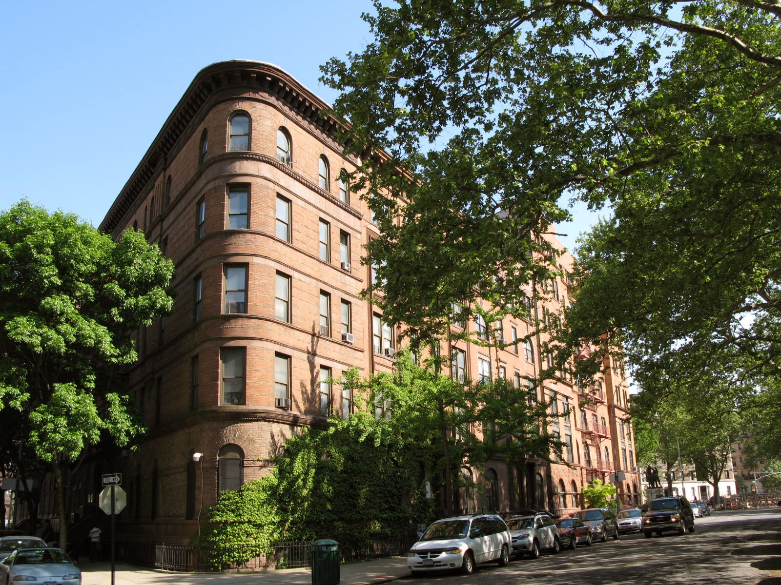
Renter Guide
Your New York lease: renewals, notices and your security deposit
What the 2019 tenant protection law means for renewals, rent increases and getting your security deposit back.
Considering Park Slope?