
Bronx · Neighborhood
Unionport
Map & Local
Around Unionport
Subway stations, public schools, and parks within walking distance — pulled live from NYC OpenData and the MTA.
Subway
3
-
6
Castle Hill Av
5 min walk
-
6
Zerega Av
9 min walk
-
6
Parkchester
11 min walk
Schools
5
-
P.S. 036 Unionport
Elementary · PK,0K,01,02,03,04,05
0.08 mi
-
The Dr. Emmett W. Bassett School
Elementary · PK,0K,01,02,03,04,05
0.37 mi
-
Blueprint Middle School
Junior High-Intermediate-Middle · 06,07,08
0.39 mi
-
P.S./M.S. 194
K-8 · 0K,01,02,03,04,05,06,07,08
0.41 mi
-
Bronx Charter School for Excellence
K-8 · 0K,01,02,03,04,05,06,07,08
0.48 mi
Parks
8
-
Church Triangle
0.1 acres
0.05 mi
-
Havemeyer Playground
0.4 acres
0.16 mi
-
Chief Dennis L. Devlin Park
0.5 acres
0.23 mi
-
FDNY-EMT Yadira Arroyo Playground
0.3 acres
0.39 mi
-
Haviland Playground
0.8 acres
0.41 mi
-
Castle Hill Little League Field
1.7 acres
0.42 mi
-
P.O. Serrano Playground
2.6 acres
0.49 mi
-
Caserta Playground
1.0 acres
0.50 mi
From the News
Recent articles
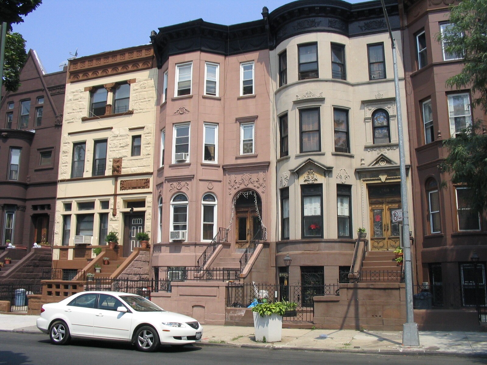
Renter Guide
How to apply for an apartment in New York City
The documents landlords ask for, the income guideline they use, and how to have a complete application ready before you tour.
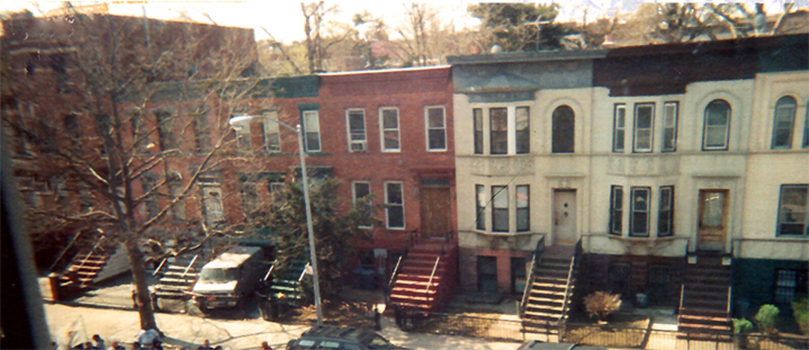
Renter Guide
Touring an apartment in NYC: what to check before you apply
A practical checklist for your tour, from light and water pressure to heat, noise and the commute.
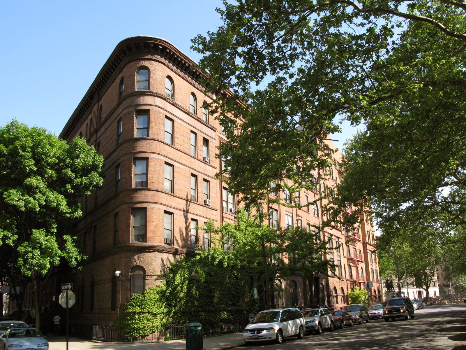
Renter Guide
Your New York lease: renewals, notices and your security deposit
What the 2019 tenant protection law means for renewals, rent increases and getting your security deposit back.
Considering Unionport?